Durham’s Old Streets: The Market Place, the Vennels and Three Bridges
Down off the hill
In the last post I took you up to Palace Green, where Durham keeps its cathedral and its castle. This one is about what happens below them — because the part of Durham I found most surprising is not the famous bit on top of the hill. It is the ordinary streets underneath it.
If you mentally remove the modern shop signs from two streets in particular, you are standing in a place that has barely changed in two or three hundred years.
The Market Place, and why there are statues everywhere
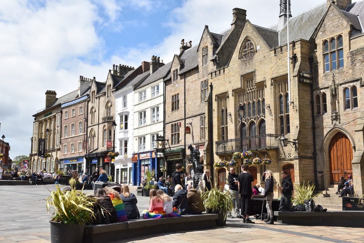
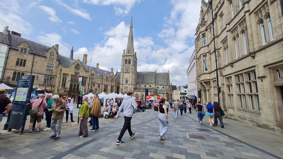
Everything in Durham funnels into the Market Place. It is where Silver Street, Saddler Street and the road to Elvet Bridge all meet, it has the covered Victorian market hall on one side and St Nicholas’ Church on the other, and it is where you will end up whether you meant to or not.
It also has a slightly odd density of monuments for a square this size — a sea god, a soldier on a horse and a war memorial, all in one cobbled space. Both statues are there for the same underlying reason: Durham’s two great nineteenth-century obsessions were coal and getting it to the sea.
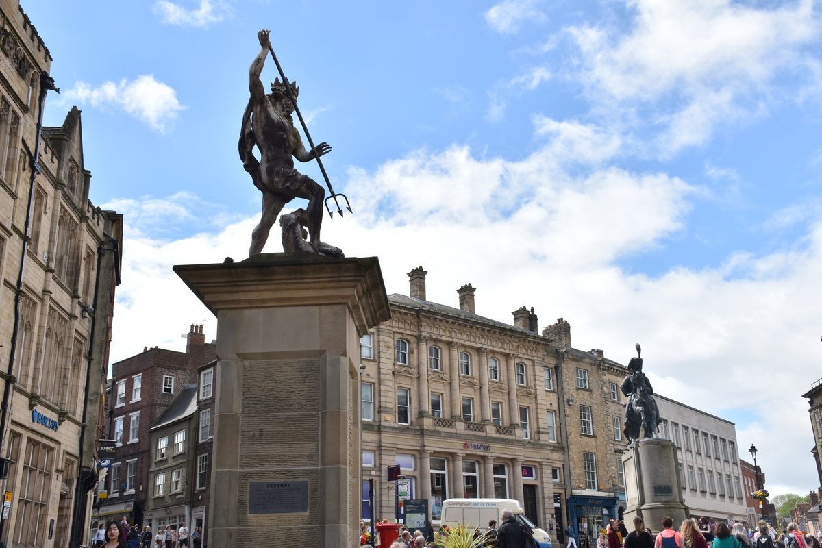
Neptune, 1729 — the sea port that never happened
The oldest thing in the square is a lead-covered stone figure of Neptune, and he is standing in a city forty kilometres from the coast, which takes some explaining.
He was put up in 1729, paid for by George Bowes, then mayor, to advertise a genuinely ambitious plan: to canalise the Wear and turn landlocked Durham into an inland sea port, linked through to the Tyne. It never happened. The trade went to Sunderland and Seaham instead, and Durham was left with a sea god on a plinth and no sea.
The Marquess of Londonderry, 1861
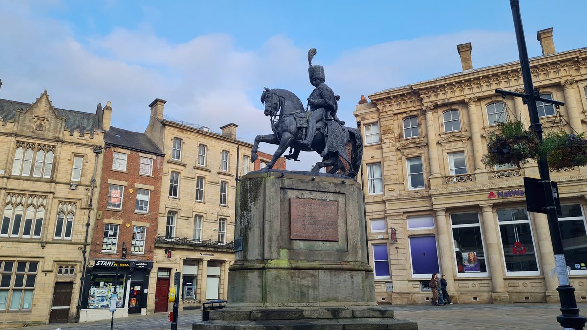
The big equestrian bronze is Charles William Vane Stewart, third Marquess of Londonderry, unveiled on 2 December 1861 and sculpted by Raphael Monti, an Italian artist working in England.
He is in full hussar uniform because he was a cavalryman who led a brigade of hussars and served for a time as Wellington’s right-hand man. But the reason Durham put him up is coal: he owned collieries around the city and built Seaham Harbour to ship the stuff out. He is, in effect, the Neptune plan actually working — just forty kilometres east of here.
Three bridges
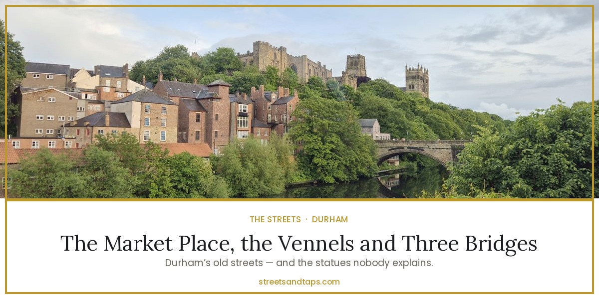
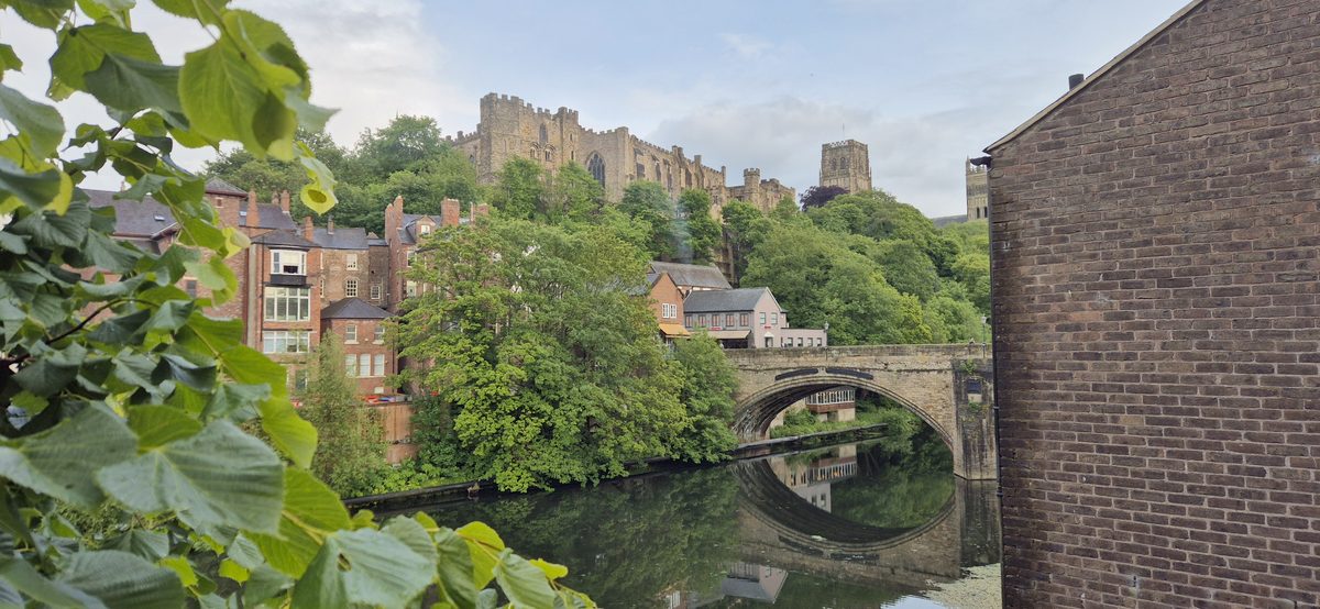
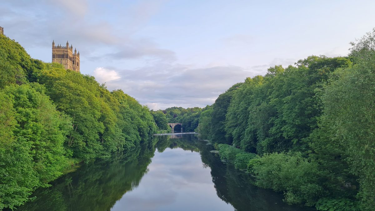
Durham has three old bridges, and one of them is the one that gives you the view you have already seen on a postcard.
Framwellgate Bridge
The oldest. There has been a bridge here since around 1128, built by Bishop Ranulf Flambard, though a flood took it away in 1400. What you walk over now was rebuilt in the fifteenth century and widened in the 1800s. It carries you from the Market Place side down towards the shops and the station.
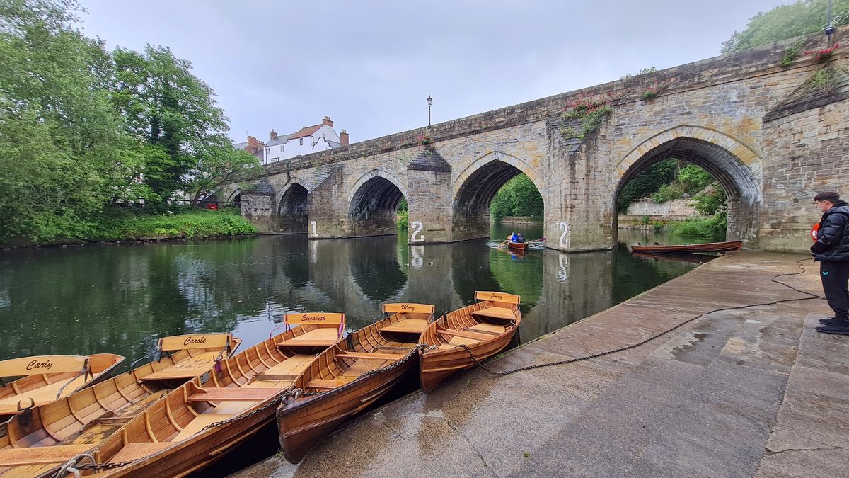
Elvet Bridge
Begun around 1160 by Bishop Puiset, who was busy encouraging a new merchants’ borough on the far bank and needed a way to reach it. Most of the medieval stonework you can see dates from the early thirteenth century. There are still little buildings sitting on the bridge itself, which always delights me.
Prebends Bridge
The youngest of the three, built between 1772 and 1778, and the reason photographers get up early. It sits downstream in the trees, and the view from it back up to the cathedral through the woods is the classic image of Durham. If you only walk to one bridge, walk to this one.
The two streets where the centuries fall away
Both streets run off the Market Place, in opposite directions, and both are medieval in shape even where they are not medieval in stone. The narrow frontages and the long thin yards running back behind them are burgage plots — the standard medieval town layout, where each householder got a slim strip of street and a long garden behind. The buildings standing on those plots today are mostly seventeenth, eighteenth and nineteenth century, rebuilt one at a time on medieval foundations. That is why the rooflines wander up and down and nothing quite lines up.
Silver Street
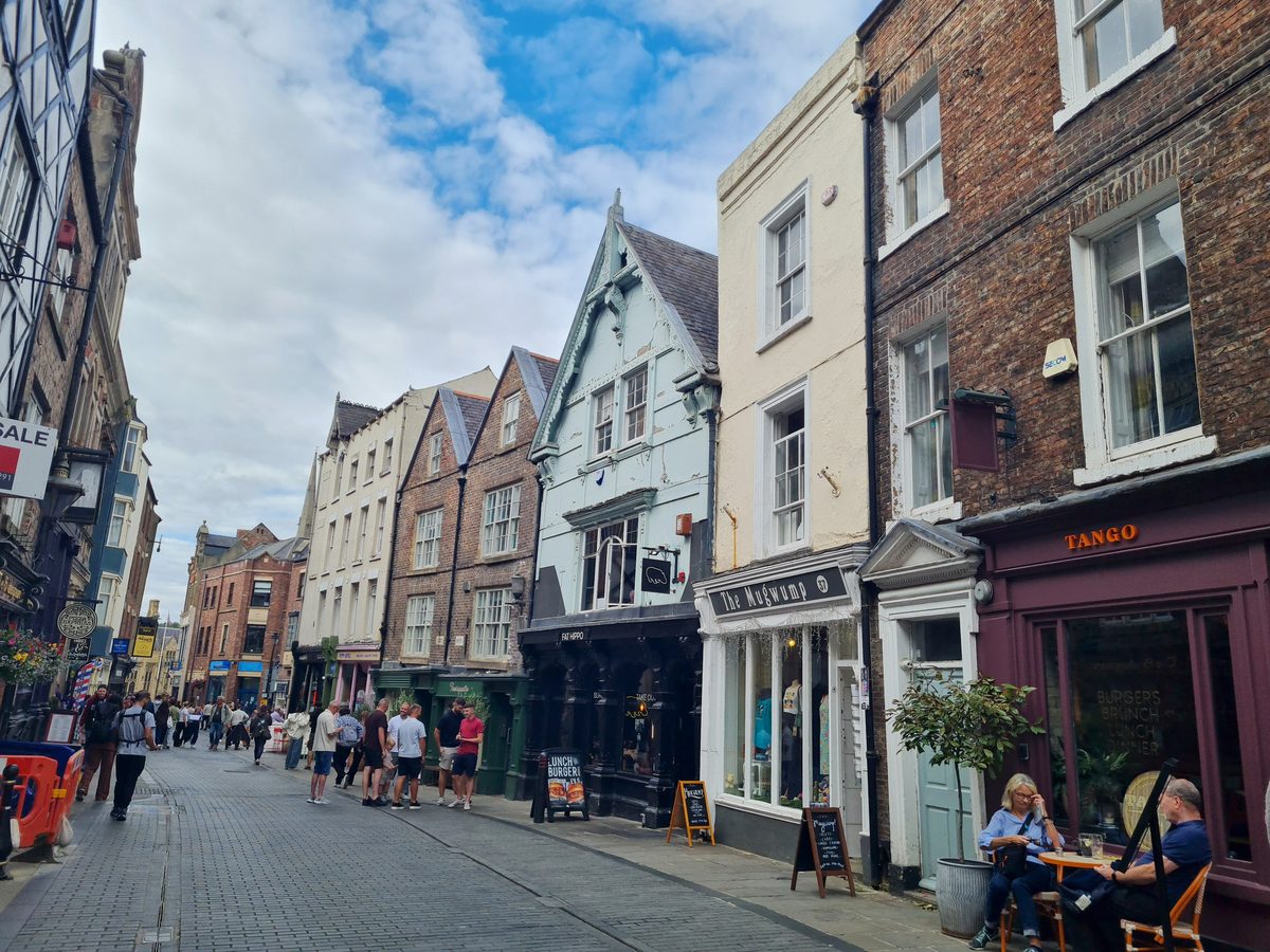
Silver Street runs from the Market Place down to Framwellgate Bridge — steep, narrow, and always the busiest street in the city. The narrowness is the giveaway: this is a medieval street that was never widened.
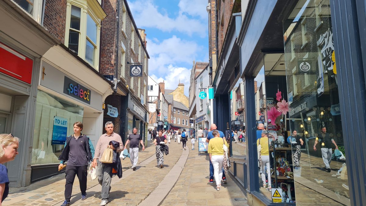
The name is the good bit. It is said to come from a mint that once stood here, striking Durham’s own coins in the days of the Prince Bishops — the bishops of Durham held powers no other English bishop had, including the right to mint money. A mint is definitely known to have existed on Palace Green, so treat the Silver Street mint as the local story rather than proven fact, which is roughly how Durham tells it too.
The lower end, where it meets the bridge under the castle, may originally have been a separate street called Smithgate — the blacksmiths’ end. Given the traffic coming off the bridge and the horses it arrived on, that makes sense.
Look above the shopfronts, which is where the old buildings survive:
- No. 38 belonged to Sir John Duck — a Durham rags-to-riches story, an apprentice butcher who became a coal owner and Mayor of Durham. Inside it still keeps a good deal of late seventeenth-century work.
- No. 12 is an early seventeenth-century gabled brick house of three storeys — early brick in a stone city, which is unusual enough to notice.
- Nos. 32 and 34 are both seventeenth century, No. 32 with an eighteenth-century top floor added later. Classic Durham: three centuries stacked on one facade.
Saddler Street
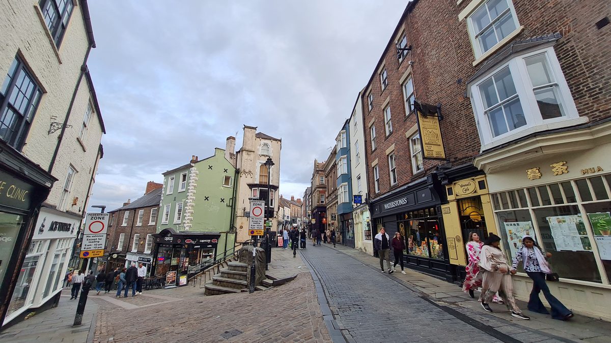
Saddler Street runs the other way, from the Market Place up towards the cathedral, and follows the line of what was a Roman road. It is named after Sir Ralph Sadler, Henry VIII’s Commissioner in Durham. In medieval times this was the main route for horse traffic up to the cathedral — hence saddlers — and at its top stood the North Gate, later used as the county jail and pulled down in 1820.
The gate is not entirely gone, though, which is the detail I like most on this street:
- Nos. 45 and 46 — a seventeenth-century house, altered in the early nineteenth, that physically incorporates part of the castle’s North Gate in its fabric. It is listed Grade II*, a step above everything else on the street, and you walk past it without a clue.
- Nos. 41 and 42 — an early nineteenth-century house with a late Victorian shopfront bolted on underneath.
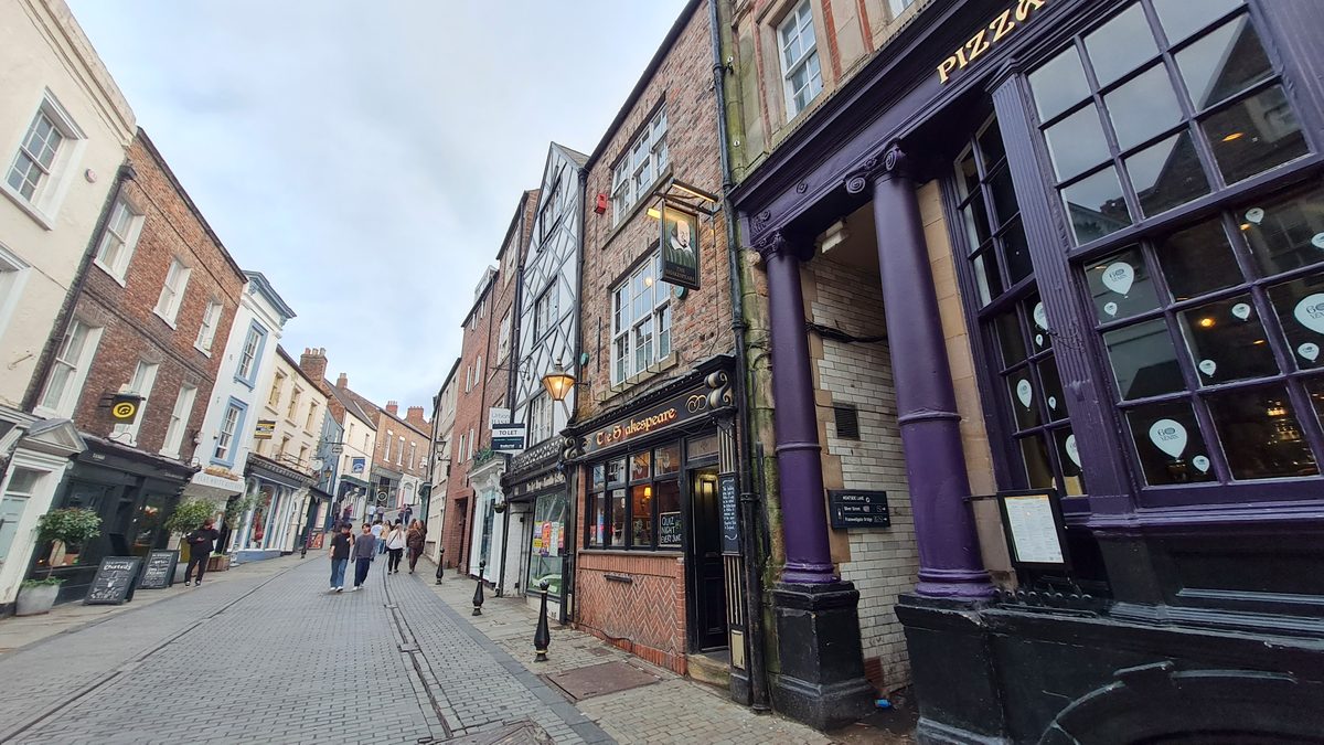
Keep going and Saddler Street becomes Owengate, which delivers you onto Palace Green with the cathedral on one side and the castle on the other. It is a short walk and a very steep one.
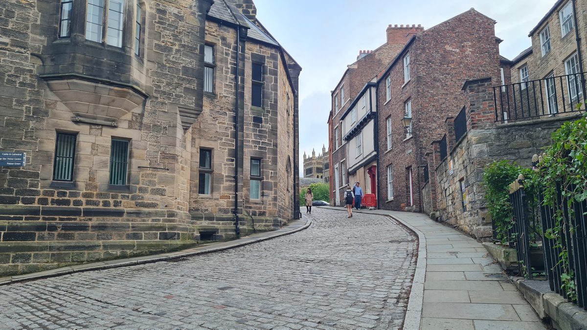
The hidden streets: Durham’s vennels
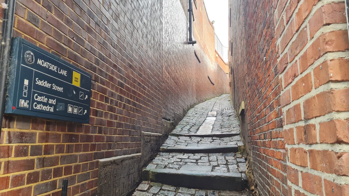
Now the part most visitors miss entirely. Durham’s narrow alleys have their own word — vennels — an old term you also find in Scotland. They are barely shoulder-width, easy to walk past a hundred times, and they open into small courtyards behind the main streets.
Two of them run off the north side of Silver Street and take you down into Back Silver Street and Fowler’s Yard, a working yard of small studios and makers tucked behind the market place. There is another near Walkergate in the north-west corner of the Market Place, by St Nicholas’ Church.
One vennel off Saddler Street is called Drury Lane, and it is named for good reason: Durham’s first theatre opened down there in 1722, and a second in 1771. You would never guess it now.
How to walk it
If you want an order that works, this one does, and it takes about ninety minutes with stops:
- Start in the Market Place — the two statues, the market hall.
- Down Silver Street to Framwellgate Bridge. Look up at the buildings, not into the shop windows.
- Back up, and take the vennel off Silver Street down to Fowler’s Yard.
- Back to the Market Place and up Saddler Street — past Nos. 45 and 46 with the old North Gate in them — into Owengate and onto Palace Green.
- Down the far side to Prebends Bridge for the view, and back along the river.
One warning that carries over from the last post: do not try to do any of this by car. The Market Place and Saddler Street are inside a road-user charge zone and the square itself is loading only. Park at Prince Bishops Place or Walkergate and walk.
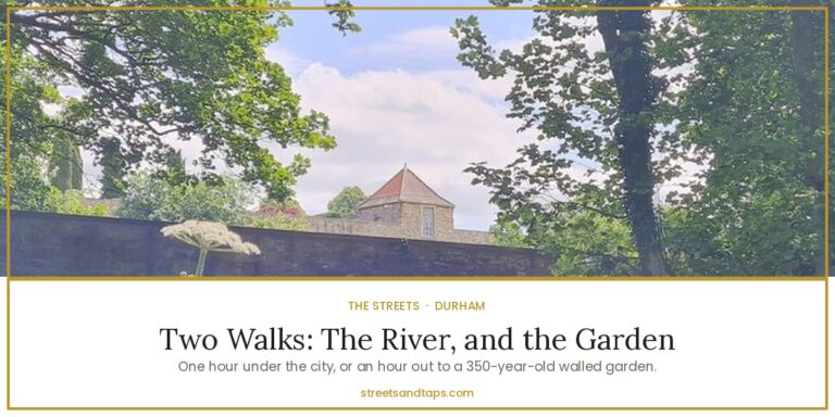
If the old streets have given you an appetite for walking, keep going down to the water. Two Durham walks along the river — the loop below the city, and the one that starts a mile upstream and brings you back into town past Old Durham Gardens.
Addresses
- Market Place — Durham DH1 3NJ. Neptune (1729) and the Marquess of Londonderry (1861); covered market hall and St Nicholas’ Church. durhammarkets.co.uk
- Silver Street — Market Place to Framwellgate Bridge, Durham DH1 3RB.
- Saddler Street — Market Place to Owengate, Durham DH1 3NP.
- Fowler’s Yard — Back Silver Street, Durham DH1 3RA, reached by the vennel off Silver Street. fowlersyard.com
- Framwellgate Bridge — Silver Street to North Road, Durham DH1 3RA.
- Elvet Bridge — Elvet Bridge, Durham DH1 3AF.
- Prebends Bridge — South Bailey, Durham DH1 3EL.
- Palace Green — between the cathedral and the castle, free to walk across.
Next in this series: down to the river — the riverbank loop, Wharton Park, and the walks just outside the city.
Doing the trail yourself? Subscribe to the newsletter and get the free one-page County Durham Brewery Trail — five breweries with opening windows, prices and honest verdicts — including the ones that are not for Ian. One email per trip, no spam.