Two Durham Walks: The River Below the City, and the One Out to the Garden
Durham is small enough that you can see the famous part in a morning. The cathedral and the castle, the Market Place, the vennels and the bridges — that is a couple of hours if you do not linger, and I have written about all of it already.
What I had not written about is the part that made me want to come back. Both of these walks follow the same river, and neither of them is hard. One stays under the city and takes an hour. The other starts a mile upstream, at a footbridge by the university sports fields, and walks you into town the long way round — past a walled garden that has been there for three hundred and fifty years and that most people in Durham have never been to. No car, no boots, no planning. Between them they are the reason Durham is better than an afternoon.
Walk one — the river below the city
About an hour · roughly 2.5 km (1.5 miles) · a loop, back where you started · flat and paved most of the way
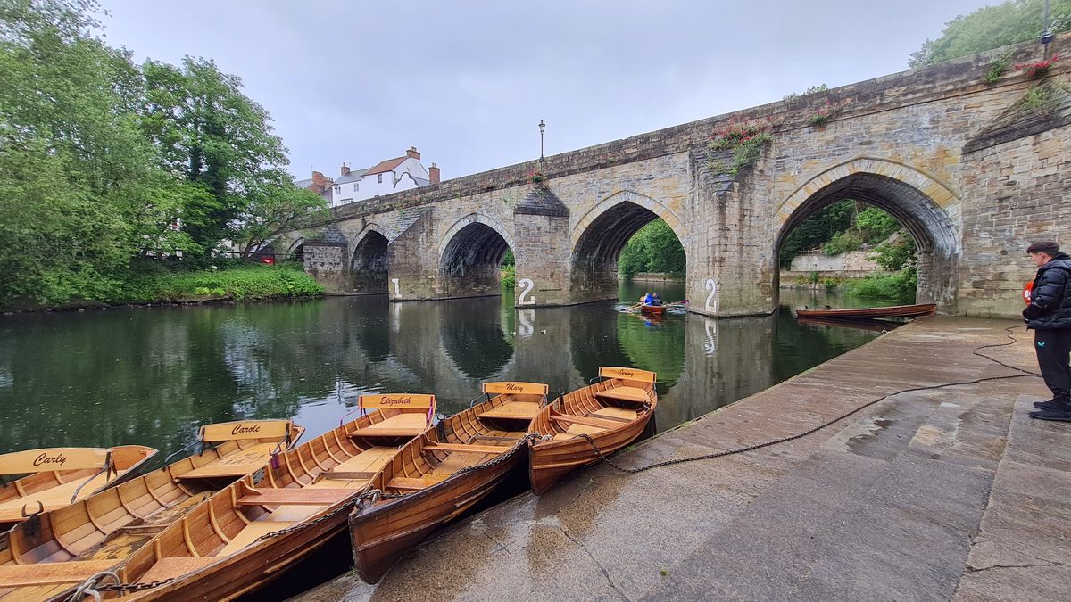
Durham’s best trick is vertical. The centre can be heaving on a Saturday, and the river is ninety seconds away and almost always quiet. Take the steps down from Elvet Bridge and the noise simply stops — not fades, stops. The banks are wooded enough that you lose the town completely, and the cathedral spends the whole walk appearing and disappearing above you through the trees.
You can walk the loop around the peninsula in under an hour. There are rowing boats to hire in summer and rowers out in all weathers, because this is a university city and somebody is always on the water. The stretch below the Bailey is the prettiest, and the one where you are most likely to have the path to yourself.
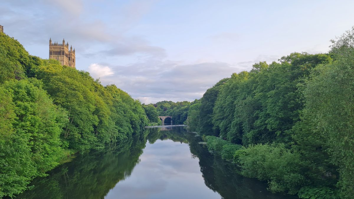
Keep going and you reach Prebends Bridge, which is where everyone stops, and rightly. The view back up to the cathedral through the trees is the classic image of Durham — the one on the postcards, and the one Sir Walter Scott has a verse about, carved into the bridge itself. If you only walk to one point on this loop, walk to that one.
Carry on round and the walk changes character. Past the weir the banks open out, the buildings come back, and you pass under the railway viaduct — a great brick thing striding over the houses, which is worth looking up at even though nobody does. Then the bridges, and you are back where you started.
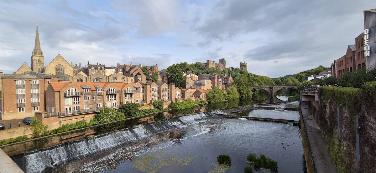
Nothing about this walk is difficult. It is paved nearly all the way, it is fine with a pushchair for most of its length, and you can cut it short at any bridge you like. It is the walk I would give somebody who has one spare hour in Durham and has already seen the cathedral.
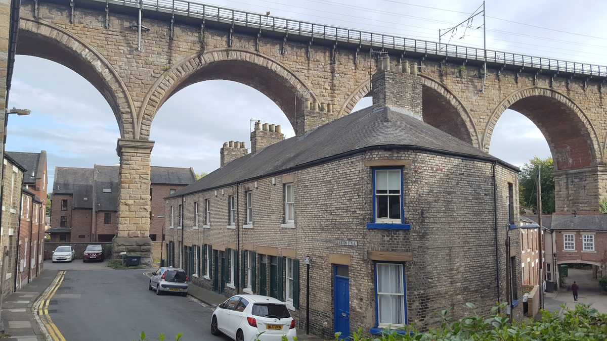
Walk two — out to Old Durham Gardens, and back into town
About an hour and a half · roughly 5 km (3 miles) one way · one gentle climb · easy underfoot in dry weather
This is the walk I would send you on if you only take one piece of advice from this whole blog. It is calm, it is beautiful, it is not long, it is not far, and there is not too much of it — which is exactly why it works. You are never more than a mile from the middle of Durham and you will spend most of it thinking you are somewhere rural.
Start at the footbridge by the university sports fields at Maiden Castle, about a mile upstream from the centre, and walk downstream into town. Doing it in that direction means you finish in the city with the cathedral in front of you rather than behind you, and it means the only climb comes early, while you still feel like climbing.
One thing to be clear about before you set off: this walk is a straight line, not a loop. The 5 km is the single journey from the footbridge to the middle of Durham, taking in the gardens on the way — you finish in town, not back where you started. If you have left a car at the sports centre you need to add the return leg, and that is another 3.5 km back along the river, which makes it about 8.5 km (5.3 miles) in total and closer to two and a half hours with the stops. Walking back is no hardship — it is the same river and it looks different in the other direction — but plan for it rather than discover it.
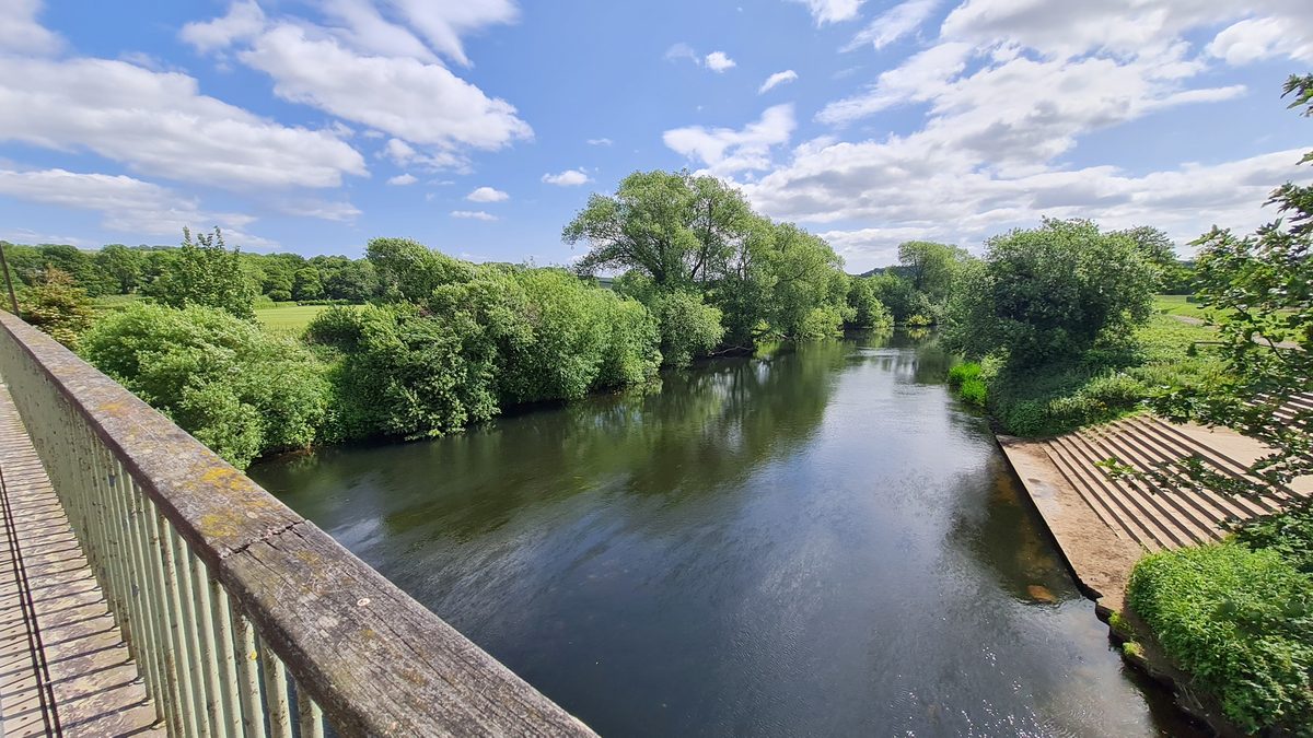
The bit nobody tells you about
The wooded rise above that footbridge is called Whinney Hill, and there is an Iron Age promontory fort on top of it. Maiden Castle: about two acres, steep natural slopes on three sides falling a hundred feet to the Wear, and an earth rampart and ditch cut across the fourth side where the ground is flat enough to attack. It is a scheduled monument, and defended prehistoric settlements are genuinely rare in County Durham.
You will not see much — a bank, a dip, some trees. That is what two and a half thousand years does. But the bridge is named after it, you are walking underneath it, and I would rather know that than not.
The river
The path north from the bridge is the good bit. It runs along the east bank with the water on your left and mature woodland climbing away on your right — this is the edge of Pelaw Wood, thirty hectares of it, a Local Nature Reserve since 2022 and the stretch the Durham Regatta rows past. In June the cow parsley is over head height in places and the birds are loud enough to be the thing you remember. I did not expect that, and it is.
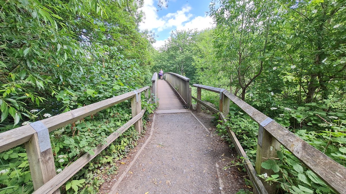
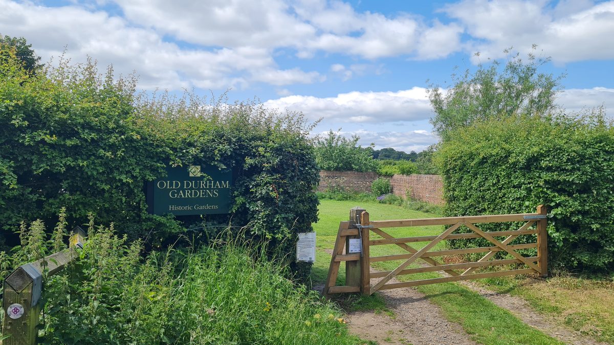
It is well signed. Where the path opens into a clearing there is a waymarker post, and the way to Old Durham is on it. This is where you leave the river and start the only real climb of the walk — gentle, short, and through open grass rather than woods.
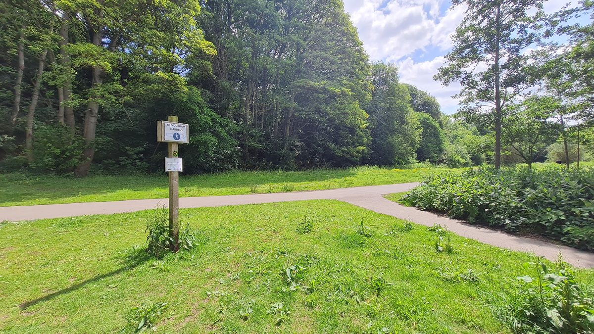
Then a broad track along the edge of the trees, with meadow on one side, and after ten minutes or so a long stone wall appears on the rise ahead with a small pantiled roof showing above it. That is the gazebo, and that is the moment the walk pays out.
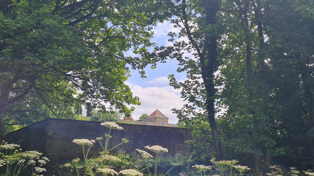
Old Durham Gardens
A walled garden that has been here more than three hundred and fifty years, on the site of the house the Heath family lived in. John Heath the fourth was here by 1648 and died here in 1665, and he carved his initials and the date over the gazebo door. The gazebo itself is early seventeenth century, remodelled around 1720, and restored in the nineties after a long stretch of being a ruin nobody looked after.
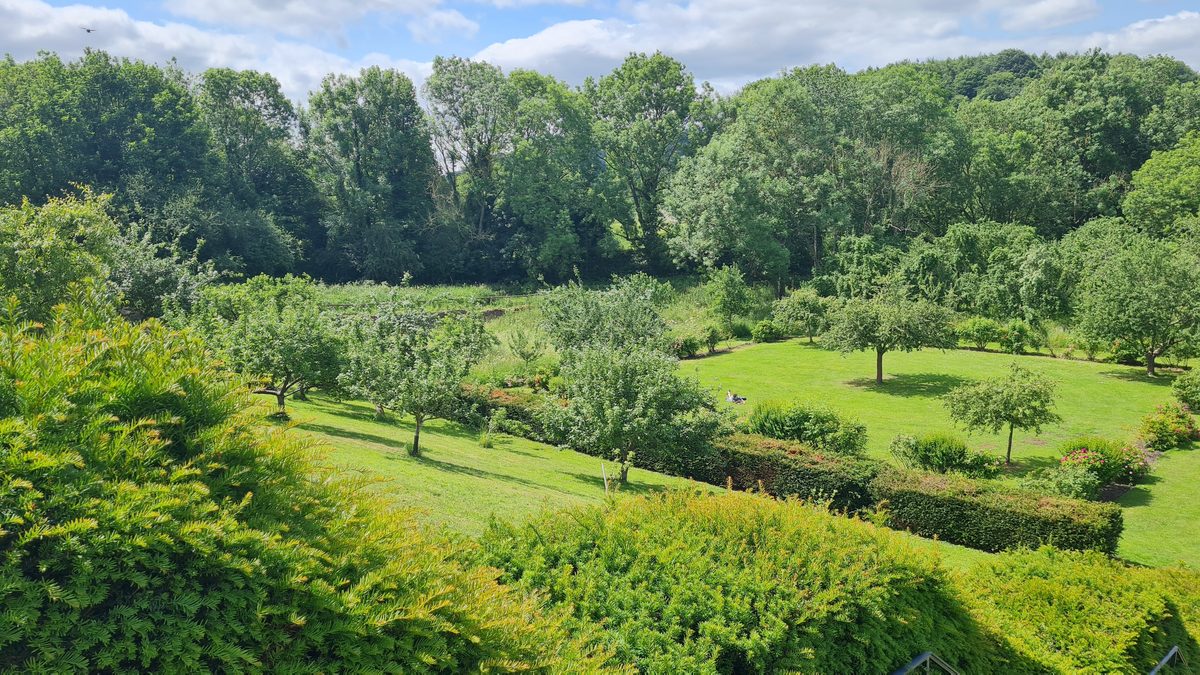
The garden runs in walled compartments with terraces stepping down to a restored orchard. Apple blossom in spring, roses on the slope in summer, and in early autumn the orchard is doing what orchards do. It is owned by the county council and run with a volunteer group, the Friends of Old Durham Gardens, and it is free.
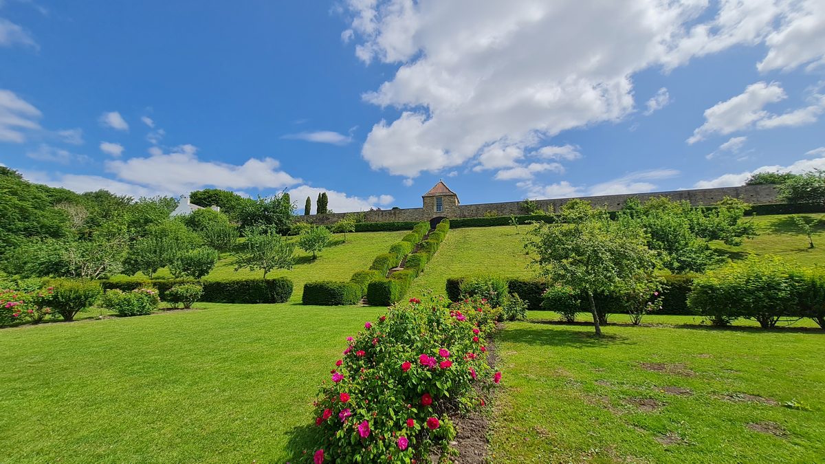
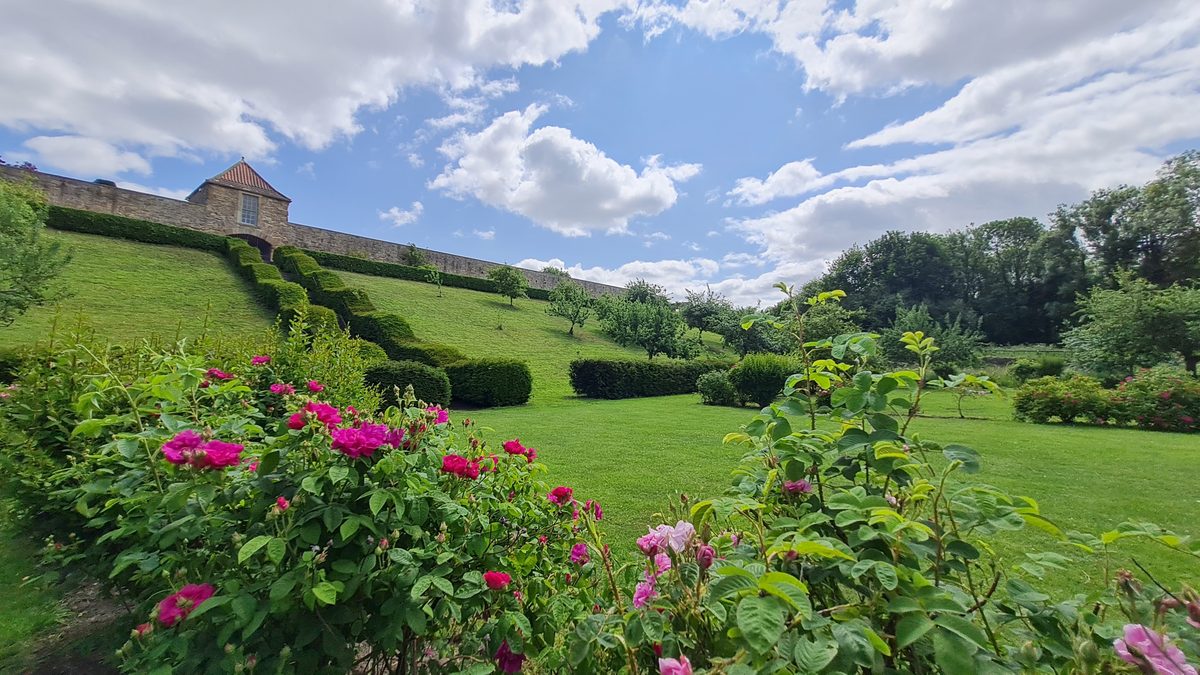
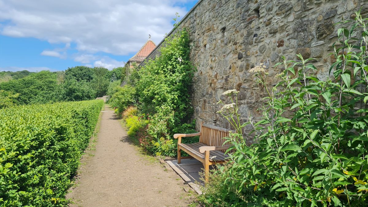
There are benches against the warm side of the wall, there is almost never anybody else there, and I sat for twenty minutes without meaning to. If you have brought something to eat, this is where you eat it.
One thing to check before you go
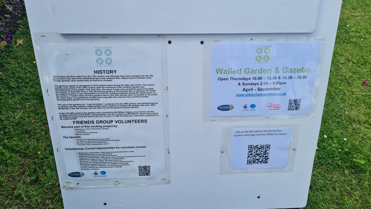
The site is in two parts, and they do not keep the same hours. The lower walled garden and the orchards — over eighty per cent of the whole thing — are open at all times, free, no gate to worry about. The upper walled garden and the gazebo are only open Thursdays 10am to 12.30 and 1pm to 4pm, and Sunday afternoons 2pm to 5pm, and only from April to September.
Which means that for most of the year, and on most days of the week, you can walk the gardens and look at the gazebo but not walk into that part. That is not a disaster — the terraces and the orchard are the best of it anyway — but if the gazebo is the reason you are going, go on a Thursday or a Sunday afternoon in summer. Times do change, and the board at the gate and the website do not always match, so check the website before you set off.
Back into the city
Retrace to the river and keep going downstream, and the walk turns into a completely different thing. First the boathouses — the university clubs keep their boats along here, and there is usually somebody carrying an eight down to the water.
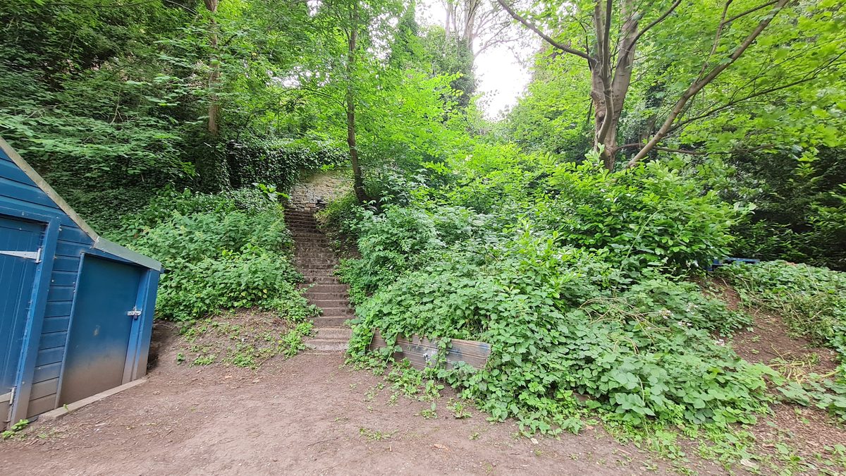
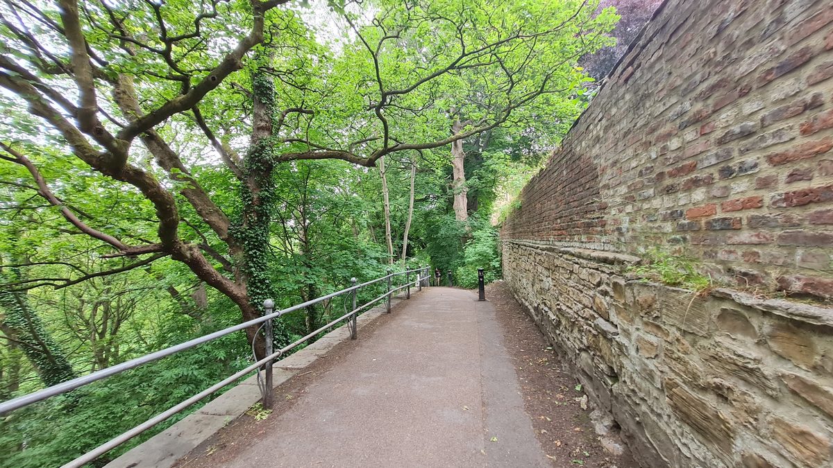
Then the path narrows and runs along the bottom of the Bailey, with the retaining walls of the old town rising on your right — stone at the base, brick above, hundreds of years of patching in one wall. The cathedral is directly above you here and you cannot see it at all, which is somehow the best part.
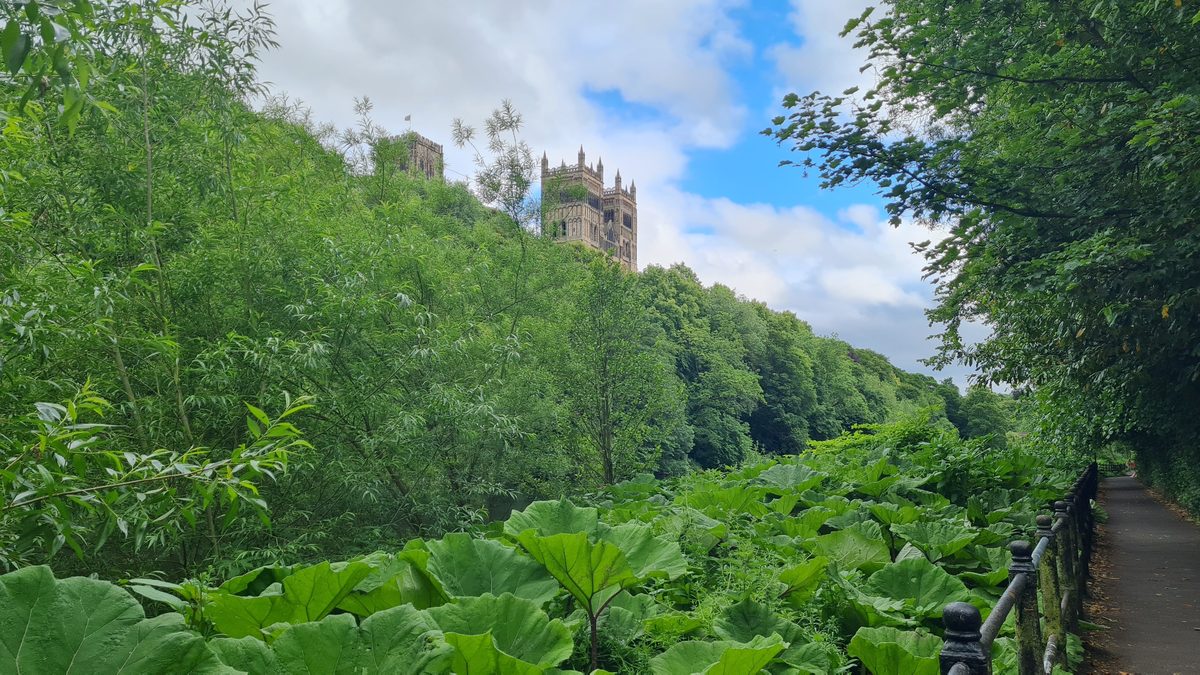
And then it lets you see it. There is one point where the bank opens and the tower comes up over the trees, and it is the view you get without the crowd that comes with Prebends Bridge.
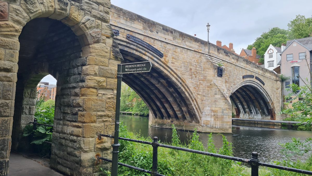
The last few hundred metres take you under Framwellgate Bridge, where a small black signpost points back the way you might have come — “Prebends Bridge (Footpath unlit)”, which tells you everything about how to plan the return leg in winter. Up the steps from there and you are on Silver Street with the Market Place at the top of it, which is where the old streets post begins.
Before you go
- Shoes. The riverside stretch is largely paved but the field path up to the garden is not, and after rain it is properly muddy. Covered shoes, not sandals.
- Do it downstream. Start at Maiden Castle and finish in town — the climb comes early and you end up somewhere with a coffee in it.
- Decide in advance how you are getting back. One way is 5 km and ends in the city centre. Walking back to the sports centre makes it about 8.5 km and roughly two and a half hours. A taxi from the Market Place takes ten minutes, and the buses from North Road run out towards Gilesgate and Sherburn Road if you would rather not repeat the river.
- Driving? Park at the Graham Sports Centre at Maiden Castle and pick the route up at the footbridge. Check there is nothing on at the sports ground first, or the parking goes. Do not try to drive to Old Durham itself — Bent House Lane is single track with passing places and there is nowhere to leave a car.
- The footpath along the river is unlit. In winter, do it in the middle of the day.
- Dogs are fine on both walks, and you will meet plenty.
- For the upper garden and the gazebo: Thursday, or Sunday afternoon, April to September.
Both walks on one map
Walk one is the blue loop, walk two is the gold line. Click a numbered pin to see what it is. The routes follow the actual footpaths rather than a straight line between the sights, so the distances on the map are the distances you will walk — and you can see at a glance that walk two ends in the middle of town rather than back where it started.
Map data © OpenStreetMap contributors. Routes are plotted along public rights of way — check conditions locally after heavy rain.
Which one to pick
| Walk one — the river | Walk two — the garden | |
|---|---|---|
| Time | About an hour | About an hour and a half one way, nearer two and a half if you walk back |
| Distance | Roughly 2.5 km (1.5 miles) | Roughly 5 km (3 miles) one way, or about 8.5 km (5.3 miles) there and back |
| Shape | A loop — you end where you began | Linear — starts a mile out of town, finishes in the centre |
| Underfoot | Paved nearly all of it | Paved, then a field path |
| Climb | Barely any | One gentle climb, early on |
| Best for | A spare hour, a pushchair, bad shoes | Getting properly out of the city without going far |
| The reward | Prebends Bridge and the view | A 350-year-old garden, free, and usually empty |
| Season | Any | Spring for blossom, June for the roses, early autumn for the orchard |
If you have one hour, walk the river. If you have an afternoon, walk the second one — and go on a Thursday or a Sunday so the gazebo is open.
Addresses and practical
| Place | Detail | Website |
|---|---|---|
| Walk one — start | Steps down from Elvet Bridge to the riverside path, Durham DH1 3AF | — |
| Walk two — start | Maiden Castle footbridge, by the university sports fields, Durham DH1 3SE | durham.ac.uk |
| Old Durham Gardens | Old Durham, Durham DH1 2RY. Free. Lower garden and orchards open at all times; upper walled garden and gazebo Thu 10–12.30 and 1–4, Sun 2–5, April to September. Donations welcome | olddurhamgardens.co.uk |
| Pelaw Wood | A Local Nature Reserve since 2022, 30 hectares along the Wear. Also reachable from Gilesgate | durham.gov.uk |
| Maiden Castle | Iron Age promontory fort on Whinney Hill, a scheduled monument. No charge, no facilities — it is a wood | historicengland.org.uk |
| Graham Sports Centre car park | Parking for walk two. Restricted when there is an event on | durham.ac.uk |
| Prebends Bridge | South Bailey, Durham DH1 3EL — on walk one | — |
Next in this series: Ian takes the walking somewhere with a brewery at the end of it.
Doing the trail yourself? Subscribe to the newsletter and get the free one-page County Durham Brewery Trail — five breweries with opening windows, prices and honest verdicts — including the ones that are not for Ian. One email per trip, no spam.